Drone Mapping Services in Hudson, Wisconsin
Welcome to Above and Beyond Imagery LLC, your premier drone service business based in Hudson, Wisconsin. We specialize in providing top-notch Relative Accuracy drone mapping services to meet all your aerial imaging needs. Whether you reside in St Croix, Dunn, Pierce, or Polk counties, we are here to offer precise and reliable mapping solutions for projects of any size.
Understanding Relative Accuracy in Drone Mapping
Relative Accuracy in drone mapping refers to the precision of data points relative to each other within a single dataset. This is crucial for various applications, such as construction, land surveying, agriculture, and real estate, where consistent internal accuracy is more important than global positioning accuracy. At Above and Beyond Imagery LLC, we leverage advanced drone technology to ensure that your maps and models are accurate, consistent, and reliable.
Why Choose Above and Beyond Imagery LLC?
1. Expertise and Experience:
With years of experience in the drone mapping industry, our team possesses the knowledge and skills to handle diverse mapping projects. Our certified drone pilots work diligently to deliver high-quality results tailored to your specific needs.
2. Advanced Technology:
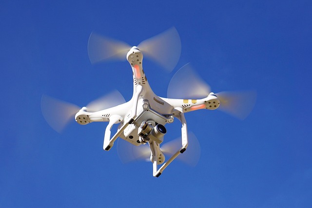
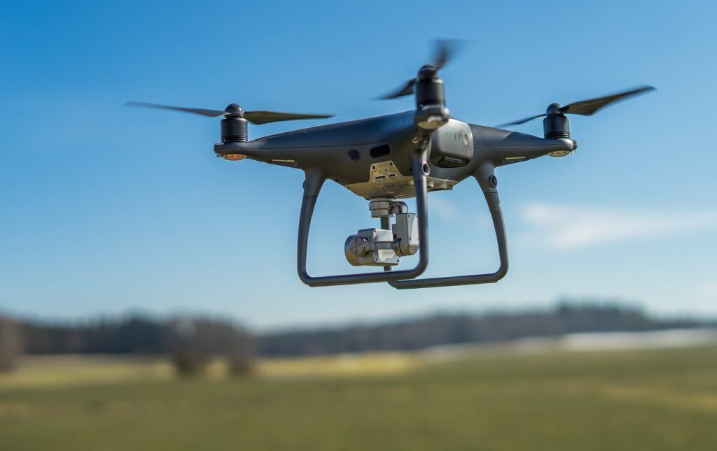
We use state-of-the-art drones equipped with high-resolution cameras and sophisticated software to capture and process aerial data. This ensures that our maps are not only accurate but also rich in detail.

3. Comprehensive Services:
From small residential projects to large commercial developments, no mapping job is too small or too large for us. We offer a wide range of services, including 2D mapping, 3D modeling, volumetric calculations, elevations variances, and more.
4. Local Knowledge:
Being based in Hudson, Wisconsin, we have a deep understanding of the local geography and the unique needs of our clients in St Croix, Dunn, Pierce, and Polk counties. This local insight allows us to provide more customized and effective solutions.
Applications of Relative Accuracy Drone Mapping
Our Relative Accuracy drone mapping service is versatile and can be applied to various industries and projects:
1. Construction:
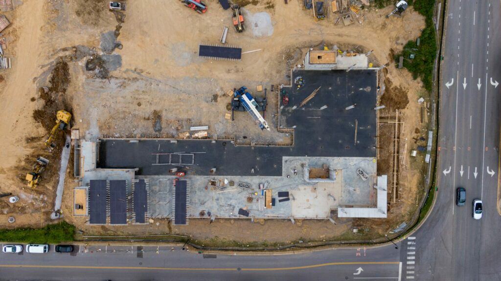
Accurate maps and models are essential for construction planning and monitoring. Our drone mapping services provide detailed site surveys, progress tracking, and volumetric analysis to ensure your construction project stays on track. (Check out our Construction Site Monitoring Service page).

2. Land Assessing:
Our drone-based land assessing offers a fast and accurate way to get a quick overall look at properties. View lowlands, wooded areas, valleys, ridges, and vegetation makeup. Also great for monitoring wood harvests.
3. Agriculture:
Drone mapping is revolutionizing agriculture by providing farmers with detailed crop health assessments, and field mapping. This data helps in making informed decisions to enhance crop yield and efficiency.

4. Real Estate:
High-resolution aerial imagery and 3D models can significantly enhance real estate marketing efforts. Our services provide potential buyers with a comprehensive view of properties, highlighting their features and surroundings.
5. Environmental Monitoring:
Monitor and assess environmental changes with our drone mapping services. We provide accurate data for land management, conservation projects, and natural resource assessments.
Benefits of Drone Mapping with Above and Beyond Imagery LLC
1. Efficiency:
Drones can cover large areas quickly and efficiently, reducing the time and cost associated with traditional mapping methods. This allows for faster project completion and more frequent data updates.
2. Safety:
Using drones for mapping eliminates the need for surveyors to traverse potentially hazardous terrain. This ensures a safer data collection process without compromising accuracy.
3. High Resolution:
Our drones capture high-resolution images that provide detailed and precise maps. This level of detail is invaluable for identifying specific features and making informed decisions.
4. Cost-Effective:
Drone mapping is a cost-effective solution for projects of all sizes. By reducing the time and labor required, we offer competitive pricing without sacrificing quality.
5. Accessibility:
With our base in Hudson, Wisconsin, we are conveniently located to serve clients in St Croix, Dunn, Pierce, and Polk counties. Our local presence ensures quick response times and personalized service.
Partner with Above and Beyond Imagery LLC
At Above and Beyond Imagery LLC, we are committed to delivering exceptional drone mapping services that exceed your expectations. Our focus on Relative Accuracy ensures that you receive consistent and reliable data for your projects. Whether you are in construction, agriculture, real estate, or any other industry, our team is ready to help you achieve your goals.
Contact us today to learn more about our services or to request a quote. Experience the difference that precision and expertise can make with Above and Beyond Imagery LLC, your trusted partner in drone mapping.
For more information, visit our Drone Mapping Service webpage and follow us on Instagram to stay updated on our latest projects and services.
