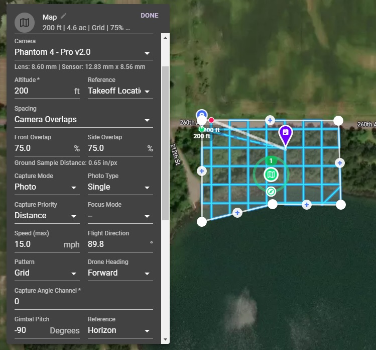
When it comes to safeguarding your home, comprehensive documentation is key. While traditional photos and paper records have been the norm, there’s a new technology that offers unprecedented detail and accuracy: orthomosaic mapping. This advanced aerial imaging technique creates detailed, accurate, and up-to-date maps of your property, providing invaluable benefits for insurance purposes.
At Above and Beyond Imagery LLC, based in Hudson, Wisconsin, we specialize in orthomosaic mapping services tailored to homeowners and property owners in St Croix, Dunn, Pierce, and Polk counties. Discover how our drone mapping solutions can enhance your insurance records and protect your investment.
Benefits of Orthomosaic Mapping for Homeowners’ Insurance Records
1. Detailed Documentation:
Orthomosaic maps provide a highly detailed, accurate, and up-to-date visual representation of a property. This comprehensive documentation can be invaluable when filing insurance claims, as it offers clear evidence of the property’s condition before any damage occurs. Flights can also be flown after damage has occurred, and can be a powerful tool in before/after imagery.
2. Enhanced Accuracy:
Compared to traditional ground photos or sketches, orthomosaic maps offer superior accuracy and detail. This can help in ensuring that all features and boundaries of the property are correctly recorded, reducing the risk of disputes with insurance companies over the extent of coverage.
3. Proof of Condition:
In the unfortunate event of damage due to natural disasters, accidents, or other incidents, having an orthomosaic map can serve as proof of the property’s pre-damage condition. This can expedite the claims process and potentially increase the likelihood of a successful claim.
4. Improved Risk Assessment:
Insurance companies often assess premiums based on the perceived risk of a property. An orthomosaic map can help highlight features such as the proximity to water bodies, trees, or other potential hazards, allowing homeowners to provide accurate information and possibly negotiate better insurance rates.
5. Easier Communication:
Orthomosaic maps offer a visual tool that can simplify communication with insurance adjusters. Instead of relying on verbal descriptions or less detailed photos, homeowners can use the map to clearly show the layout, features, and condition of their property.
6. Historical Records:
Regularly updating orthomosaic maps can create a historical record of the property over time. This can be useful for tracking changes, improvements, or any gradual damage that may occur, providing a long-term perspective that can be valuable for insurance purposes.
7. Property Valuation:
Accurate and detailed property records can assist in proper valuation for insurance purposes. This ensures that homeowners have adequate coverage based on a precise understanding of their property’s features and boundaries.
8. Enhancing Property Security:
Orthomosaic maps can also reveal potential security vulnerabilities, such as blind spots or areas that are not easily visible from the ground. Addressing these issues can reduce the risk of theft or vandalism, potentially lowering insurance premiums.
9. Compliance and Regulations:
Some insurance policies may require detailed documentation of property boundaries and features. Orthomosaic mapping can ensure compliance with these requirements, avoiding potential issues with claims or coverage.

Why Choose Above and Beyond Imagery LLC for Orthomosaic Mapping?
At Above and Beyond Imagery LLC, we specialize in providing high-precision orthomosaic mapping services tailored to the needs of homeowners in Hudson, Wisconsin, and the surrounding St Croix, Dunn, Pierce, and Polk counties. Here’s why you should consider our services:
1. Advanced Technology:
We use cutting-edge drone technology equipped with high-resolution cameras to capture detailed and accurate aerial imagery, ensuring the highest quality orthomosaic maps.
2. Expertise and Experience:
Our team of certified drone pilots have extensive experience in creating orthomosaic maps for various applications, including insurance documentation. We understand the specific needs and requirements of homeowners and strive to deliver exceptional results.
3. Local Knowledge:
As a locally based company, we have in-depth knowledge of the area, allowing us to provide personalized services that cater to the unique characteristics of properties in St Croix, Dunn, Pierce, and Polk counties.
4. Customer-Centric Approach:
We prioritize our clients’ needs and work closely with them to understand their specific requirements. Our goal is to provide reliable, accurate, and detailed orthomosaic maps that meet their insurance documentation needs effectively.
5. Comprehensive Services:
In addition to orthomosaic mapping, we offer a range of drone mapping services, including 3D modeling, topographic mapping, and aerial stills and video. This allows us to provide comprehensive solutions for all your aerial imaging needs.
Conclusion
Investing in orthomosaic mapping for your property can provide significant benefits when it comes to insurance records and claims. With detailed, accurate, and up-to-date visual documentation, you can ensure that your property is properly covered and valued. At Above and Beyond Imagery LLC, we are committed to delivering high-quality drone mapping services that meet the specific needs of homeowners in Hudson, Wisconsin, and the surrounding areas.
Contact us today to learn more about our orthomosaic mapping services and how they can benefit you. Ensure your property is accurately documented and protected with the expertise of Above and Beyond Imagery LLC
